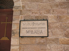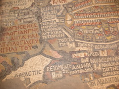

The Madaba Map is the oldest surviving original cartographic depiction of the Holy Land and especially Jerusalem. It dates to the 6th century AD. (As taken from wikipedia: http://en.wikipedia.org/wiki/Madaba_Map
The mosaic in the church was interesting... You can actually tell which one is the dead sea, etc!
No comments:
Post a Comment